 CappuPoochie
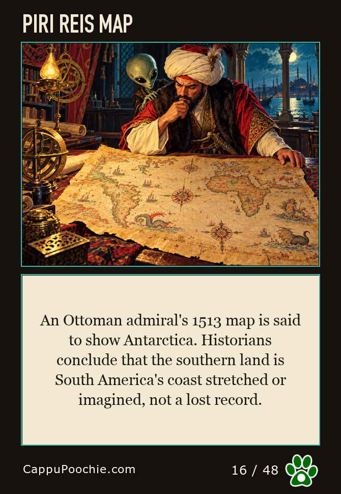

Piri Reis Map
Drawn by an Ottoman admiral in 1,513, this map is sometimes said to show Antarctica's coastline centuries before its official discovery. Historians who have studied it in detail conclude the southern landmass shown is a misread or imagined continuation of South America's coast, not a lost record of Antarctica.